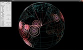
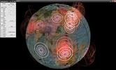
Earthquake 3D is an application that allows you to visualize the main tremors produced all over the planet in a 3D world map.
Earthquake 3D allows you to modify the way they are featured on the map and the unit used to measure them, the aspect of the planet or the elements appearing on the surface (rivers, frontiers, lakes, islands,...).
Advertisement
Earthquake 3D also allows you to filter tremors by size or date.
The information shown by Earthquake 3D is taken from the USA Earthquake Hazards Program.


Comments
Very good, today I learned about it, and it seems very good to me.